Canton Open Data
Find, map and query the City of Canton’s public GIS data: zoning and land use, council wards, sanitation days, special districts, water and sewer, parks and trails.
- 92
- Datasets
- 153,338
- Records
- 8
- Categories
What applies at my address?
Your council ward, sanitation day and police zone; your zoning and land use; the special districts you’re in; and your water, sewer and power service.
Try 110 Academy Street, 225 Reformation Parkway, 231 Villa Creek Parkway
Start exploring Canton’s data
Browse by category
Every public layer from the City's GeoHub, grouped by topic.
Data story
A city zoned for planned development
68.5% of Canton’s 12,036 zoned parcels sit in a planned development district, and 34.8% of its parcel land (3,700 acres) is still vacant, 80.5% of it already zoned for planned development.
Canton in layers
drawn from this portal’s dataPopular datasets
Open any dataset to see it on a map, query it, and download it in the format you need.
 Areas
Zoning & Development
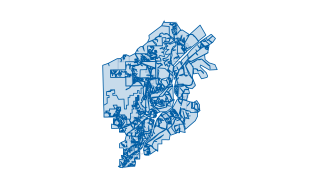
Canton Zoning Parcels
This layer (hosted feature layer) depicts Zoning in the City of Canton, GA per parcel. This data set is maintained by the City of Canton's GIS division, and is updated on a regular basis to reflect the current Zoning status in the City of C
 Areas
Zoning & Development
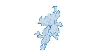
Character Area Future Land Use
This layer (hosted feature layer) depicts the character area and future land use in the City of Canton, GA. This data set is maintained by the City of Canton's GIS division, and is updated on a regular basis to depict the current character
 Areas
City Services & Safety
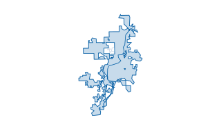
Sanitation Days
For specific questions about this data or to provide feedback, please contact the City's GIS division .
 Areas
Districts & Boundaries
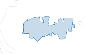
City of Canton Council Wards
This layer (hosted feature layer) depicts the Council Wards in the City of Canton, GA. This data set is maintained by the City of Canton's GIS division, and is updated on a regular basis to depict the current council wards of the City of Ca
 Areas
Districts & Boundaries
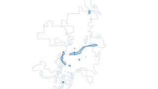
Historical District Boundary
This layer (hosted feature layer) depicts the Historical District in the City of Canton, GA. This data set is maintained by the City of Canton's GIS division, and is updated on a regular basis to reflect current zoning and boundaries of the
 Areas
Parks & Recreation
City of Canton Parks
This layer (hosted feature layer) depicts the public parks in the City of Canton, GA. This data set is maintained by the City of Canton's GIS division. For specific questions about this data or to provide feedback, please contact the City's
Your ArcGIS stays the source
Nothing changes for the City’s GIS Department. Data keeps being managed in ArcGIS; this site reads it, can refresh on a schedule, and gives residents a faster way in: search across every layer, maps and tables that load instantly, and queries that run in the browser.