Datasets
92 datasets published by the City of Canton on its GeoHub (ArcGIS Hub).
92 results
 Areas
Districts & Boundaries
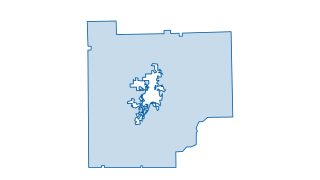
Cherokee County Mask
This layer (hosted feature layer) depicts the areas within Cherokee County and also outside of the City of Canton, GA. This data set is maintained by the City of Canton's GIS division. For specific questions about this data or to provide fe
 Areas
Districts & Boundaries
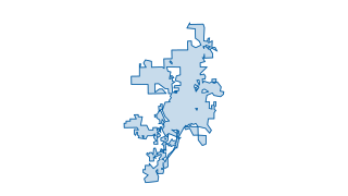
Canton City Limits
This layer (hosted feature layer) depicts City Limits in the City of Canton, GA. This data set is maintained by the City of Canton's GIS division, and is updated on an annual basis as specified by approved annexation and de-annexation docum
 Areas
Zoning & Development
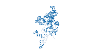
Canton Zoning Parcels
This layer (hosted feature layer) depicts Zoning in the City of Canton, GA per parcel. This data set is maintained by the City of Canton's GIS division, and is updated on a regular basis to reflect the current Zoning status in the City of C
 Areas
Districts & Boundaries
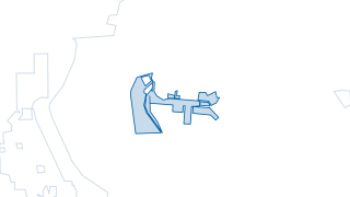
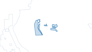
Entertainment District
This layer (hosted feature layer) depicts the entertainment district in the City of Canton, GA. This data set is maintained by the City of Canton's GIS division. For specific questions about this data or to provide feedback, please contact
 Areas
Districts & Boundaries
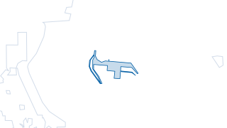
Entertainment District copy
This layer (hosted feature layer) depicts the entertainment district in the City of Canton, GA. This data set is maintained by the City of Canton's GIS division. For specific questions about this data or to provide feedback, please contact
 Areas
Districts & Boundaries
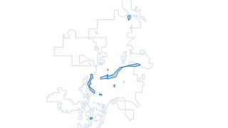
EntertainmentDistrict baselayer
This layer (hosted feature layer) depicts the entertainment district in the City of Canton, GA. This data set is maintained by the City of Canton's GIS division. For specific questions about this data or to provide feedback, please contact
 Areas
Parks & Recreation
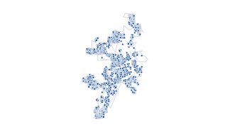
City of Canton Parks
This layer (hosted feature layer) depicts the public parks in the City of Canton, GA. This data set is maintained by the City of Canton's GIS division. For specific questions about this data or to provide feedback, please contact the City's
 Points
Zoning & Development
City of Canton Addresses (View)
This layer (hosted, view) depicts the addresses in the City of Canton, GA. This data set is maintained by the City of Canton's GIS division, and is updated on a quarterly basis and is obtained from Cherokee County's Parcel Data. For specifi
 Points
Sewer & Wastewater
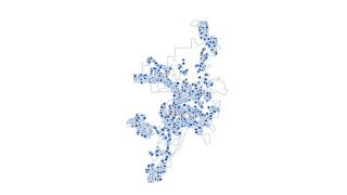
Sanitary Sewer Manholes
This layer (hosted feature layer) depicts the Sanitary Sewer Manholes in the City of Canton, GA. This data set is maintained by the City of Canton's GIS division. For specific questions about this data or to provide feedback, please contact
 Points
Parks & Recreation
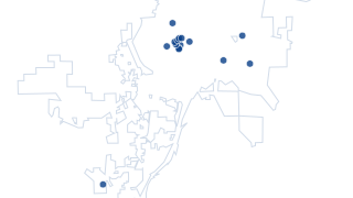
City of Canton Points of Interest
This layer (hosted feature layer) depicts the points of interest in downtown Canton, GA. This data set is maintained by the City of Canton's GIS division. For specific questions about this data or to provide feedback, please contact the Cit
 Points
Sewer & Wastewater
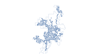
Sanitary Sewer Combined Nodes
This layer (hosted feature layer) depicts the Sanitary Sewer Combined Nodes in the City of Canton, GA. This data set is maintained by the City of Canton's GIS division. For specific questions about this data or to provide feedback, please c
 Points
Sewer & Wastewater
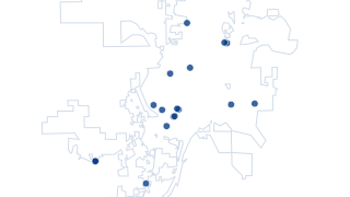
Proposed Waste Water Flow Meters
This layer (hosted feature layer) depicts the Proposed Waste Water Flow Meters in the City of Canton, GA. This data set is maintained by the City of Canton's GIS division. For specific questions about this data or to provide feedback, pleas
 Areas
Streets & Transportation
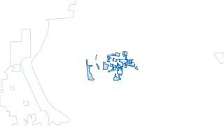
Parking
This layer (hosted feature layer) depicts the available parking in downtown section in the City of Canton, GA. This data set is maintained by the City of Canton's GIS division, and is updated on a regular basis with the expansion of parking
 Areas
Districts & Boundaries
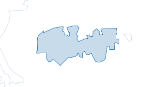
Historical District Boundary
This layer (hosted feature layer) depicts the Historical District in the City of Canton, GA. This data set is maintained by the City of Canton's GIS division, and is updated on a regular basis to reflect current zoning and boundaries of the
 Lines
Parks & Recreation
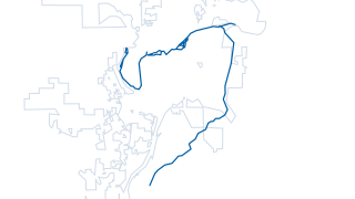
City of Canton Trails
This layer (hosted feature layer) depicts the trail system in the City of Canton, GA. This data set is maintained by the City of Canton's GIS division, and is updated upon the creation and maintaining of trails. For specific questions about
 Areas
Water
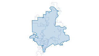
Water Service Area
Description Prompt: This layer (hosted feature layer) depicts the Water Service Area in the City of Canton, GA. This data set is maintained by the City of Canton's GIS division, and is updated on a regular basis to depict the current water
 Lines
Streets & Transportation
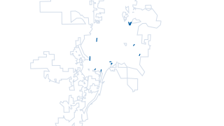
Bridges within City Limit
This layer depicts the bridges located within the Canton city limits. This data was acquired from the FHWA HPMS layer in the Esri Living Atlas. It is updated as the information is made available by FHWA. For further information regarding br
 Areas
Sewer & Wastewater
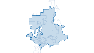
Existing Waste Water Service Area
This layer (hosted feature layer) depicts the Existing Waste Water Service Area in the City of Canton, GA. This data set is maintained by the City of Canton's GIS division. For specific questions about this data or to provide feedback, plea
 Areas
City Services & Safety
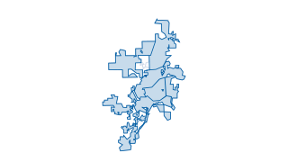
City of Canton Police Zones
This layer (hosted feature layer) depicts the police zones in the City of Canton, GA. This data set is maintained by the City of Canton's GIS division, and is updated on a regular basis to reflect the most current police zones in the City o
 Points
Water
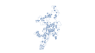
Water Meters
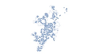
This layer (hosted feature layer) depicts water meters in the City of Canton, GA. This data set is maintained by the City of Canton's GIS division. For specific questions about this data or to provide feedback, please contact the City's GIS
 Points
Water
Water Valves
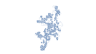
This layer (hosted feature layer) depicts water valves in the City of Canton, GA. This data set is maintained by the City of Canton's GIS division. For specific questions about this data or to provide feedback, please contact the City's GIS
 Points
Water
Water Hydrants
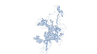
This layer (hosted feature layer) depicts the fire hydrants in the City of Canton, GA. This data set is maintained by the City of Canton's GIS division. For specific questions about this data or to provide feedback, please contact the City'
 Points
Sewer & Wastewater
Sewer Manholes
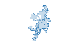
This layer (hosted feature layer) depicts the Sewer Manholes in the City of Canton, GA. This data set is maintained by the City of Canton's GIS division. For specific questions about this data or to provide feedback, please contact the City
 Areas
Districts & Boundaries
City of Canton Council Wards
This layer (hosted feature layer) depicts the Council Wards in the City of Canton, GA. This data set is maintained by the City of Canton's GIS division, and is updated on a regular basis to depict the current council wards of the City of Ca
 Areas
Zoning & Development
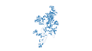
Existing Land Use
This layer (hosted feature layer) depicts the Existing Land Use by Parcel in the City of Canton, GA. This data set is maintained by the City of Canton's GIS division, and is updated on a quarterly basis during the updates for the Cherokee C
 Points
Water
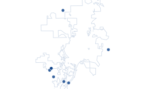
Water Master Meters
This layer (hosted feature layer) depicts the water master meters in the City of Canton, GA. This data set is maintained by the City of Canton's GIS division. For specific questions about this data or to provide feedback, please contact the
 Areas
Environment
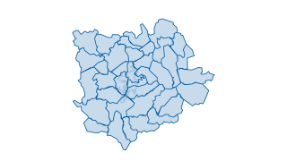
Cherokee County Watershed HU12
This layer (hosted feature layer) depicts the Cherokee County Watershed HU12 in the City of Canton, GA. For specific questions about this data or to provide feedback, please contact the City's GIS division .
 Lines
Streets & Transportation
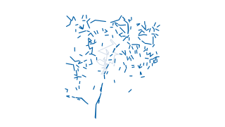
Cherokee County Streets
Subtypes: 0 - Interstate 1 - Interstate Ramp 2 - Principal Arterial 3 - Minor Arterial 4 - Major Collector 5 - Minor Collector 6 - Local
 Lines
Streets & Transportation
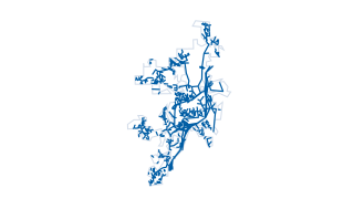
Streets Maintenance
This layer (hosted feature layer) depicts the streets maintained by the City of Canton, GA. This data set is maintained by the City of Canton's GIS division, and is updated on a regular basis to depict the current streets maintained by the
 Areas
City Services & Safety
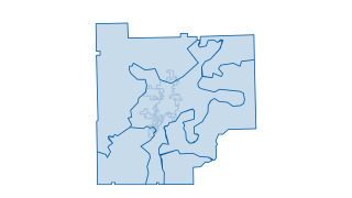
Power Service Area
This layer (hosted feature layer) depicts the Power Service Area in Cherokee County. This data set is maintained by the Cherokee County's GIS division, and is updated on a regular basis to reflect the current utility area. For specific ques
 Areas
Zoning & Development
City of Canton Buildings
This layer (hosted feature layer) depicts the buildings in the City of Canton, GA. This data set is maintained by the City of Canton's GIS division. For specific questions about this data or to provide feedback, please contact the City's GI
 Lines
Sewer & Wastewater
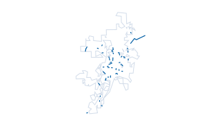
Sanitary Sewer Gravity Conveyances
This layer (hosted feature layer) depicts the Sanitary Sewer Gravity Conveyances in the City of Canton, GA. This data set is maintained by the City of Canton's GIS division. For specific questions about this data or to provide feedback, ple
 Points
City Services & Safety
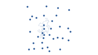
Cherokee County Fire Stations
This layer (hosted feature layer) depicts the fire stations located in Cherokee County, GA. For specific questions about this data or to provide feedback, please contact the City's GIS division .
 Lines
Environment
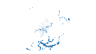
Cherokee County Flood Cross Sections
This layer (hosted feature layer) depicts the cross section of Cherokee County's flood hazards. For questions about flood hazard areas and zones within Cherokee County, please reach out to Cherokee County's GIS team.
 Areas
Zoning & Development
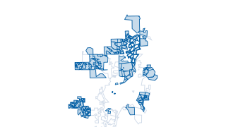
City of Canton Approved Development Master Plan
This layer (hosted feature layer) depicts the approved development master plan in the City of Canton, GA. This data set is maintained by the City of Canton's GIS division, and is updated on a regular basis to current approved development ma
 Areas
Zoning & Development
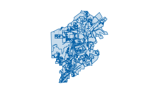
Character Area Future Land Use
This layer (hosted feature layer) depicts the character area and future land use in the City of Canton, GA. This data set is maintained by the City of Canton's GIS division, and is updated on a regular basis to depict the current character
 Lines
Zoning & Development
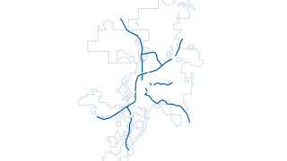
Canton Corridors Of Influence
This layer (hosted feature layer) depicts the Corridors of Influence in the City of Canton, GA. This data set is maintained by the City of Canton's GIS division. For specific questions about this data or to provide feedback, please contact
 Areas
Environment
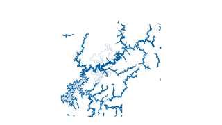
Cherokee County Flood Hazard Areas
This layer (hosted feature layer) depicts the flood hazard areas located within Cherokee County, GA. For any questions regarding the flood hazard areas located in Cherokee County or questions about the data, please contact Cherokee County's
 Areas
Districts & Boundaries
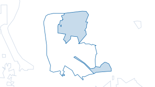
River Mill LCI Boundary
This layer (hosted feature layer) depicts the Livable Centers Initiative for the River Mill Project in the City of Canton, GA. This data set is maintained by the City of Canton's GIS division. For specific questions about this data or to pr
 Areas
Zoning & Development
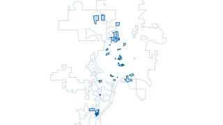
Apartment Complexes of Canton
This layer (hosted feature layer) depicts the apartment complexes in the City of Canton, GA. This data set is maintained by the City of Canton's GIS division, and is updated on a regular basis to reflect the current apartment locations. For
 Areas
City Services & Safety
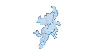
Sanitation Days
For specific questions about this data or to provide feedback, please contact the City's GIS division .
 Lines
Streets & Transportation
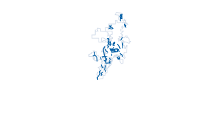
Canton Road Paving
This layer (hosted feature layer) depicts the road paving in the City of Canton, GA. This data set is maintained by the City of Canton's GIS division. For specific questions about this data or to provide feedback, please contact the City's
 Points
Sewer & Wastewater
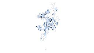
Sewer Customers
This layer (hosted feature layer) depicts the current customers of sewer services in the City of Canton, GA. This data set is maintained by the City of Canton's GIS division, and is updated on a regular basis to reflect current customers. F
 Areas
Water
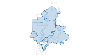
Water Pressure Areas
This layer (hosted feature layer) depicts Water Pressure Areas in the City of Canton, GA. This data set is maintained by the City of Canton's GIS division. For specific questions about this data or to provide feedback, please contact the Ci
 Points
Streets & Transportation
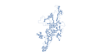
Street Support
This layer (hosted feature layer) depicts the street sign support locations in the City of Canton, GA. This data set is maintained by the City of Canton's GIS division. For specific questions about this data or to provide feedback, please c
 Points
City Services & Safety
Sanitation Customers
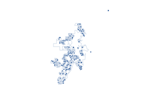
This layer (hosted feature layer) depicts the current sanitation customers in the City of Canton, GA. This data set is maintained by the City of Canton's GIS division, and is updated on a regular basis to include change in addresses and new
 Areas
Districts & Boundaries
Cherokee County Political Boundaries
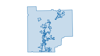
Cherokee County Political Boundaries
 Lines
Water
Waterlines
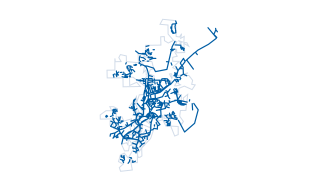
This layer (hosted feature layer) depicts water lines in the City of Canton, GA. This data set is maintained by the City of Canton's GIS division. For specific questions about this data or to provide feedback, please contact the City's GIS
 Lines
Water
Water Conveyance
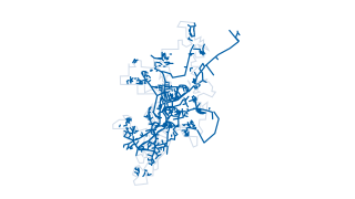
This layer (hosted feature layer) depicts the water conveyances in the City of Canton, GA. This data set is maintained by the City of Canton's GIS division. For specific questions about this data or to provide feedback, please contact the C
 Lines
Water
Water Mains
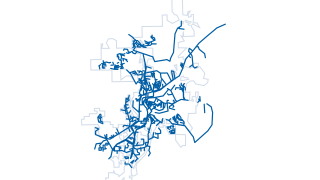
This layer (hosted feature layer) depicts the water mains in the City of Canton, GA. This data set is maintained by the City of Canton's GIS division. For specific questions about this data or to provide feedback, please contact the City's
 Points
Water
Water Tanks
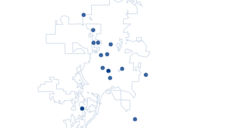
This layer (hosted feature layer) depicts the water tanks in the City of Canton, GA. This data set is maintained by the City of Canton's GIS division. For specific questions about this data or to provide feedback, please contact the City's
 Points
Water
Water Pump Stations
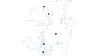
This layer (hosted feature layer) depicts the water pump stations in the City of Canton, GA. This data set is maintained by the City of Canton's GIS division. For specific questions about this data or to provide feedback, please contact the
 Points
Water
Canton Water Plant
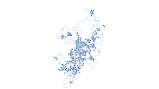
This layer (hosted feature layer) depicts the Canton water plant in the City of Canton, GA. This data set is maintained by the City of Canton's GIS division. For specific questions about this data or to provide feedback, please contact the
 Points
Water
Water Fittings
This layer (hosted feature layer) depicts the water fittings in the City of Canton, GA. This data set is maintained by the City of Canton's GIS division. For specific questions about this data or to provide feedback, please contact the City
 Lines
Water
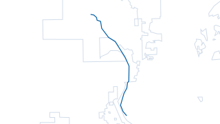
Reuse Water Line
This layer (hosted feature layer) depicts the water reuse line in the City of Canton, GA. Water reuse (also commonly known as water recycling or water reclamation) reclaims water from a variety of sources then treats and reuses it for benef
 Areas
Environment
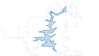
The Canton Reservoir
This layer (hosted feature layer) depicts the Canton Reservoir (also known as the Hickory Log Creek Reservoir) in the City of Canton, GA. For more information about the reservoir, please visit: cantonga.gov/government/departments/reservoir
 Points
Sewer & Wastewater
Sanitary Sewer Treatment Facility
This layer (hosted feature layer) depicts the Sanitary Sewer Treatment Facility in the City of Canton, GA. This data set is maintained by the City of Canton's GIS division. For specific questions about this data or to provide feedback, plea
 Lines
Sewer & Wastewater
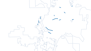
Sewer Pressurized Main
This layer (hosted feature layer) depicts the Pressurized Mains For Sewage in the City of Canton, GA. This data set is maintained by the City of Canton's GIS division. For specific questions about this data or to provide feedback, please co
 Areas
Sewer & Wastewater
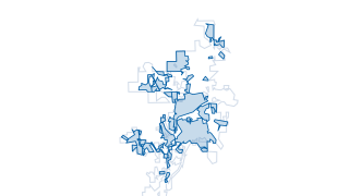
Sewer Pump Station Areas
This layer (hosted feature layer) depicts the Sewer Pump Station Areas in the City of Canton, GA. This data set is maintained by the City of Canton's GIS division. For specific questions about this data or to provide feedback, please contac
 Lines
Sewer & Wastewater
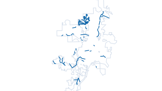
Sewer Force Main
This layer (hosted feature layer) depicts the Sewer Force Main in the City of Canton, GA. This data set is maintained by the City of Canton's GIS division. For specific questions about this data or to provide feedback, please contact the Ci
 Lines
Sewer & Wastewater
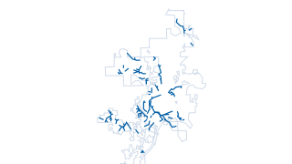
Sewer Easement
This layer (hosted feature layer) depicts the Sewer Easement in the City of Canton, GA. This data set is maintained by the City of Canton's GIS division. For specific questions about this data or to provide feedback, please contact the City
 Lines
Sewer & Wastewater
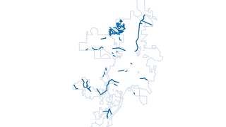
Sanitary Sewer Force Main
This layer (hosted feature layer) depicts the Sanitary Sewer Force Main in the City of Canton, GA. This data set is maintained by the City of Canton's GIS division. For specific questions about this data or to provide feedback, please conta
 Points
Sewer & Wastewater
Sanitary Sewage Pump Stations
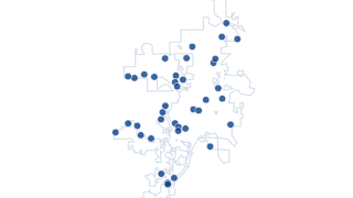
This layer (hosted feature layer) depicts the Sanitary Sewage Pump Stations in the City of Canton, GA. This data set is maintained by the City of Canton's GIS division. For specific questions about this data or to provide feedback, please c
 Areas
Districts & Boundaries
Historic Downtown Beer and Wine Package District
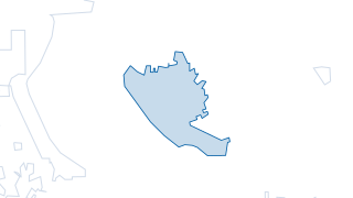
This layer (hosted feature layer) depicts the Historic Downtown Beer and Wine Package District in the City of Canton, GA. This data set is maintained by the City of Canton's GIS division. For specific questions about this data or to provide
 Areas
Sewer & Wastewater
Future Waste Water Service Area
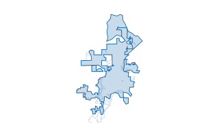
This layer (hosted feature layer) depicts the Future Waste Water Service Area in the City of Canton, GA. This data set is maintained by the City of Canton's GIS division. For specific questions about this data or to provide feedback, please
 Areas
Sewer & Wastewater
Sanitary Sewage Service Area
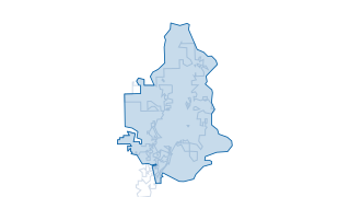
This layer (hosted feature layer) depicts the service area for sanitary sewage in the City of Canton, GA. This data set is maintained by the City of Canton's GIS division, and is updated on a regular basis to current boundaries of the servi
 Areas
Districts & Boundaries
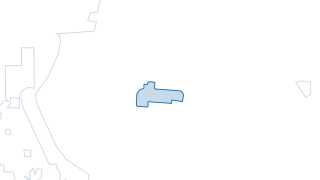
Restaurant District
This layer (hosted feature layer) depicts the current boundary of the Restaurant District in the City of Canton, GA. This data set is maintained by the City of Canton's GIS division, and is updated on a regular basis to reflect current boun
 Points
Zoning & Development
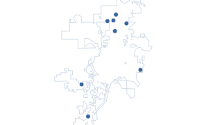
Proposed Apartments
This layer (hosted feature layer) depicts the proposed apartment complexes in the City of Canton, GA. This data set is maintained by the City of Canton's GIS division, and is updated on a regular basis to reflect proposed and approved apart
 Points
Parks & Recreation
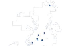
City of Canton Parks Point Data
This layer (hosted feature layer) depicts the parks as point features in the City of Canton, GA. This data set is maintained by the City of Canton's GIS division. For specific questions about this data or to provide feedback, please contact
 Areas
Parks & Recreation
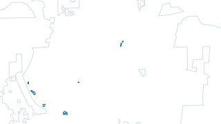
Parks Green Spaces and Sport Fields
This layer (hosted feature layer) depicts the parks' green spaces and sports fields in the City of Canton, GA. This data set is maintained by the City of Canton's GIS division. For specific questions about this data or to provide feedback,
 Points
Water
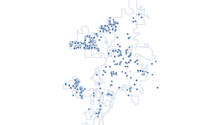
Irrigation Customers
This layer (hosted feature layer) depicts the irrigation customers in the City of Canton, GA. This data set is maintained by the City of Canton's GIS division and is updated on a quarterly basis to reflect the current Irrigation Customers.
 Areas
Zoning & Development
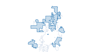
City of Canton's Approved Development
This layer (hosted feature layer) depicts the approved development in the City of Canton, GA. This data set is maintained by the City of Canton's GIS division, and is updated on a regular basis to reflect the current approved development fo
 Lines
Streets & Transportation
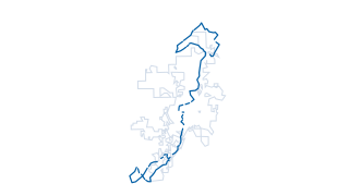
City of Canton Bike Routes
This layer (hosted feature layer) depicts the bike routes in the City of Canton, GA. This data set is maintained by the City of Canton's GIS division, and is updated on a regular basis to reflect bike routes. For specific questions about th
 Areas
Districts & Boundaries
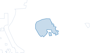
City of Canton Central Business District
This layer (hosted feature layer) depicts the Central Business District in the City of Canton, GA. This data set is maintained by the City of Canton's GIS division, and is updated on a regular basis to reflect the current boundary of the di
 Areas
Districts & Boundaries
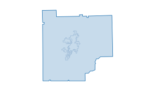
Cherokee County Boundary
This layer (hosted feature layer) depicts the boundary of Cherokee County, GA. For any questions about the county boundary, please reach out Cherokee County's GIS team.
 Areas
Districts & Boundaries
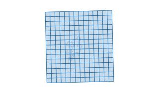
2 Mile Grid of Cherokee County
This layer (hosted feature layer) depicts a 2 mile grid system created of Cherokee County.
 Points
Streets & Transportation
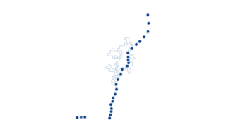
Cherokee County Highway Points
This layer (hosted feature layer) depicts the highway points of the highways located in Cherokee County. This data has been created using the Cherokee County highway data.
 Areas
Environment
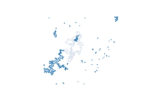
Cherokee County Lakes
This layer (hosted feature layer) depicts the lakes located in Cherokee County, GA. This data has been created by Cherokee County's GIS team.
 Areas
Zoning & Development
Cherokee County Land Lots
This layer (hosted feature layer) depicts the land lots located within Cherokee County. This data has been created by Cherokee County's GIS team.
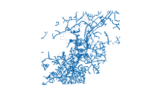 Areas
Streets & Transportation
Cherokee County Pavement Edge
This layer (hosted feature layer) depicts the pavements' edge of Cherokee Streets. This data has been created by Cherokee County's GIS division.
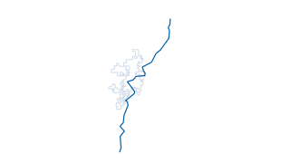 Lines
Streets & Transportation
Cherokee County Railroads
This layer (hosted feature layer) depicts the railroad system through Cherokee County. This data has been created by Cherokee County's GIS team, please contact the Cherokee County GIS team with any questions.
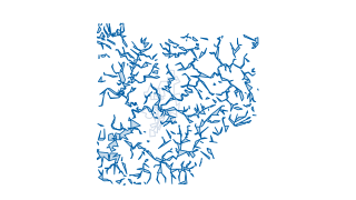 Areas
Environment
Buffers of Streams and Lakes in Cherokee County
Buffers of the streams and lakes throughout Cherokee County, GA. This data has been creating using the Streams and Lakes data from Cherokee County's GIS division.
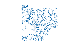 Lines
Environment
Cherokee County Streams
The stream system through Cherokee County. For any questions regarding this data, please contact Cherokee County's GIS Team.
 Areas
Districts & Boundaries
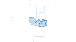
Community Improvement District
This layer (hosted feature layer) depicts the community improvement district in the City of Canton, GA. This data set is maintained by the City of Canton's GIS division. For specific questions about this data or to provide feedback, please
 Areas
Districts & Boundaries
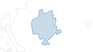
Downtown District Authority Boundary
This layer (hosted feature layer) depicts the downtown district authority in the City of Canton, GA. This data set is maintained by the City of Canton's GIS division. For specific questions about this data or to provide feedback, please con
 Lines
City Services & Safety
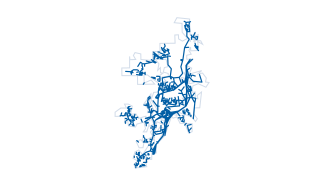
EMS ROUTE
This layer (hosted feature layer) depicts the EMS Route in the City of Canton, GA. This data set is maintained by the City of Canton's GIS division. For specific questions about this data or to provide feedback, please contact the City's GI
 Points
Streets & Transportation
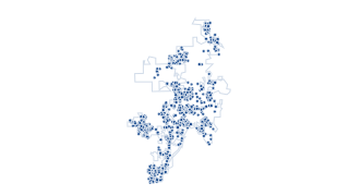
End Node
This layer (hosted feature layer) depicts the end nodes in the City of Canton, GA. This data set is maintained by the City of Canton's GIS division. For specific questions about this data or to provide feedback, please contact the City's GI
 Points
City Services & Safety
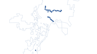
Holiday Decorations
This layer (hosted feature layer) depicts the holiday decoration locations in the City of Canton, GA. This data set is maintained by the City of Canton's GIS division. For specific questions about this data or to provide feedback, please co
 Lines
Streets & Transportation
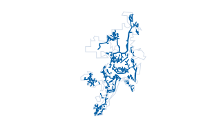
Curbs and Gutters
City of Canton Curbs and Gutters
 Lines
Streets & Transportation
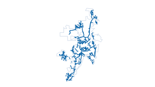
Streets Lines Via Video
This layer (hosted feature layer) depicts the street lines in the City of Canton, GA that were acquired via video collection. This data set is maintained by the City of Canton's GIS division. For specific questions about this data or to pro
 Lines
Streets & Transportation
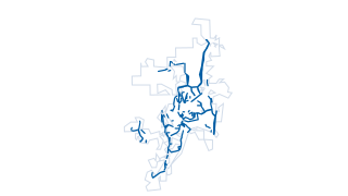
Street Striping
This layer (hosted feature layer) depicts the striping of streets in the City of Canton, GA. This data set is maintained by the City of Canton's GIS division. For specific questions about this data or to provide feedback, please contact the
 Points
Water
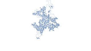
Water Customers
This layer (hosted feature layer) depicts the citizens that are water customers in the City of Canton, GA. This data set is maintained by the City of Canton's GIS division, and is updated on a regular basis to depict the current customers.